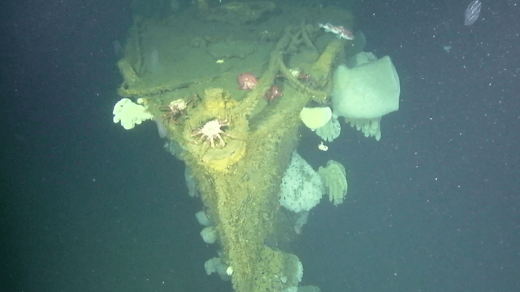
An autonomous drone fleet overseen by Ocean Infinity has rediscovered the USS Stewart, the only US Navy destroyer ever captured by Japanese forces during World War II. The marine robotics company’s trio of orange, 20-foot-long underwater robots found the historic vessel while mapping what is now the 1,286-square-mile Cordell Bank national marine sanctuary off the California coast. Also known as the “Ghost Ship of the Pacific,” the 314-foot-long ship has spent the past 78 years resting roughly 3,500 feet below the ocean’s surface, and appears to remain almost completely intact and upright.
“This level of preservation is exceptional for a vessel of its age and makes it potentially one of the best-preserved examples of a US Navy ‘four-piper’ destroyer known to exist,” Maria Brown, superintendent for both Cordell Bank and Greater Farallones national marine sanctuaries, said in a statement to The New York Times on October 1.
The USS Stewart’s story is unique in US maritime history, making it one of the most sought-after wrecks for decades. Initially sunk and abandoned after sustaining substantial battle damage, Japanese forces managed to raise the destroyer, repair it, and reenlist it against America as a naval convoy escort. During its second life, Allied pilots began recounting what appeared to be one of their own ships far within enemy territory, earning the Stewart its “Ghost Ship” moniker.
The US Navy recovered the Stewart following Japan’s surrender and intended to tow it back to its original home. While en route, however, its engines gave out near Guam, forcing the fleet to tow it the rest of its journey. Once back in the US, the “Ghost Ship of the Pacific” was given a dramatic burial at sea on May 24, 1946: Used as target practice for naval forces, it still took an estimated 2 hours of fire to finally sink it for good. But in the years since, the exact coordinates of its location were lost.

Numerous attempts were made in the past to find the USS Stewart, but the successful August search reportedly came about almost by accident. Ocean Infinity, which previously used its drones to help rediscover the USS Nevada and Endurance wrecks, originally wanted to simply test out multiple of its largest autonomous underwater robots simultaneously. That’s when Russ Matthews, president of the Air/Sea Heritage Foundation nonprofit, suggested the drones be used to scan for the Ghost Ship after he found coordinates of the tugboat that pulled it out to the area of its final scuttling. While it usually takes weeks to map out 37-square-nautical-miles of ocean floor, the drones managed to find the Stewart in a few hours.
[Related: The famous railing from ‘Titanic’ has broken off from Titanic.]
“We’re in the midst of, I think, a radical change in ocean discovery,” Jim Delgado, senior vice president of SEARCH, Inc, a maritime archeology firm also involved in the project, told The New York Times on Tuesday.
Aside from long-lost shipwrecks, autonomous mapping drones can be used to identify promising ocean floor space for the construction of wind farms, as well as chart routes for underwater cabling.