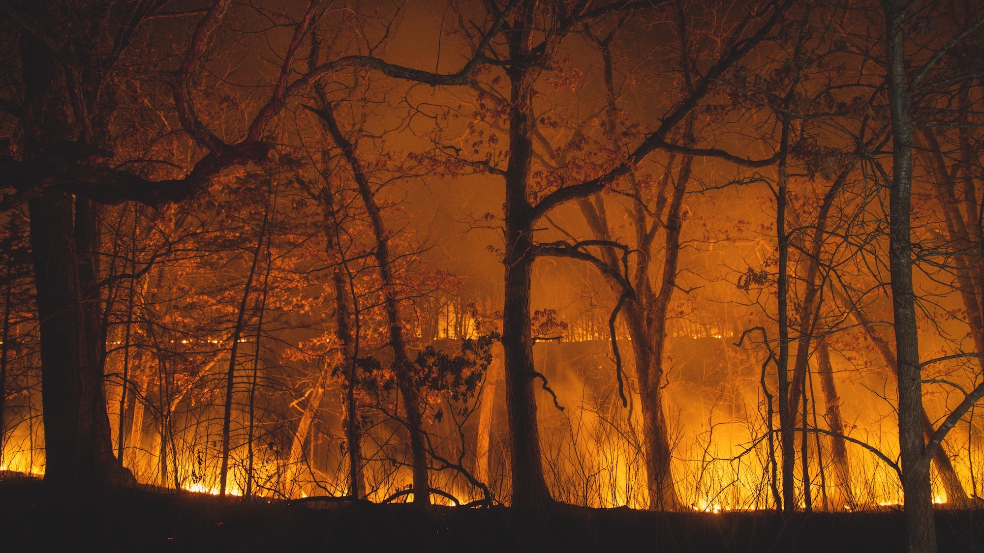
Wildfires are typically regarded as a summer event, ripping through forests and homes in the hotter months. But just last week in California, a wildfire popped up north of Los Angeles in Ventura County, burning through 32 square miles. Nearly 250 homes and businesses were damaged or destroyed by ravaging flames and smoke. Shortly after that, near the New York-New Jersey border, another fire fueled by drought, dry air, and high winds destroyed more than 2,500 acres. With conditions like this, more fires could be sparking across the country even late into autumn.
Outdoor enthusiasts, including hikers, bikers, and off-roaders who want to actively stay clear of wildfire and smoke can now use the onX app to identify those areas all year. Through its Active Wildfire and Wildfire Smoke layers, onX provides real-time updates to help users better understand the perimeters and boundaries of developing wildfires. Armed with that information, off-roading is a lot less likely to be marred by choking, toxic smoke that comes along with dangerous levels of combustion if users know which areas to avoid.
Translating data into knowledge
To achieve up-to-the-minute guidance, the team at onX harnesses readily-available data from the National Interagency Fire Center, with additional detail from NASA and NOAA. Through NOAA, the National Oceanic and Atmospheric Administration, onX gathers information from the Visible Infrared Imaging Radiometer Suite. NOAA says that VIIRS instruments are currently onboard the Suomi NPP and NOAA-20 satellite missions, generating critical atmospheric imagery and other instrument products, including visible and infrared images pertaining to snow and ice cover, clouds, fog, aerosols, fire, smoke plumes, dust, vegetation health, and more.
“Satellites measure the temperature of the Earth; some up to every five minutes,” says Tony Cannistra, a senior software development engineer on the geospatial cartography team for onX. “At a high level of detail, they can detect where wildfires might be starting and show that as flowing hotspots.”

The NASA-supported Moderate Resolution Imaging Spectroradiometer (which the organization calls MODIS) has a roughly 1450-mile-wide viewing band, seeing every point on the globe every one to two days in 36 spectral bands. The MODIS instrument is aboard the Terra and Aqua satellites, gathering data on the weather patterns of the Earth.
Hospots are updated hourly and overlaid on onX’s maps. OnX gathers that data and builds layers of graphics that show exactly where app users should avoid and displays it on a phone or tablet on the onX Backcountry, onX Offroad, and onX Hunt apps. Users can see a developing fire on the map, represented by a glowing yellow dot well before its perimeter is reported to the NIFC. In the app, the Wildfire Smoke Layer shows where smoke from those fires drifts and how dense that smoke is. Color-coded graphics represent the density of the smoke particles in their neighborhood and potential recreation areas.
Cannistra explains that establishing the location of hotspots is a useful way to determine which portion of a fire is actively burning. Fire burns in different directions, he says, but watching the heat signature offers data about where it could potentially go next and where the smoke is headed. Within the digital wildfire smoke layer, shading shows the density of the smoke at the ground.
Digital access to wayfinding
Now boasting more than 400 employees and headquartered in the outdoors mecca of Missoula, Montana, this digital map company is doing more than creating pretty pictures of the terrain. The company is heavy in the engineering and development department, which is key for slicing and dicing the data in different ways to open up opportunities beyond trailfinding.
“In some cases, these specific data formats require a lot of know-how to access,” Cannistra says. “Quite a bit of software engineering is required to crunch through it and translate it in a palatable way.”
The engineering team takes the data and hands it off to the cartographers. That opens up a conversation about how it interacts with other data in the app; in some cases that may be a cartographic challenge. For instance, they have to ensure a user can easily discern the graphics on their vehicle’s touchscreen when it’s on display using Apple CarPlay, and if it’s visible even in sunlight. Then, every piece is tested with in-house employees who have pre-release access, Cannistra states.
To create its online and in-app maps, onX incorporates thousands of sources, like local city geographic information system data, Forest Service data, and more. Recently, the company announced it could guide its users to the best leaf peeping locations in the fall season by analyzing the platform’s deciduous tree distribution, recreation, and satellite imagery data. Earlier this year, onX acquired TroutRoutes, a mapping resource for fly fishing enthusiasts, and separately showed off map layers to inform eclipse chasers the best spots for viewing.
“We’re fortunate here in the US to have a robust public domain set of data,” Cannistra states. “Because of that, we’re able to have access to this data pretty readily and it comes down to building data processing workflows to take it from the government data source to bring it to our [users].” If you’re planning to head out for a camping or hiking trip or finding the trails for off-roading fun, establish a “comfort perimeter” with the app before hitting the road. Staying away from hotspots benefits not just you but keeps you out of the way of the first responders working toward containing the fires.

