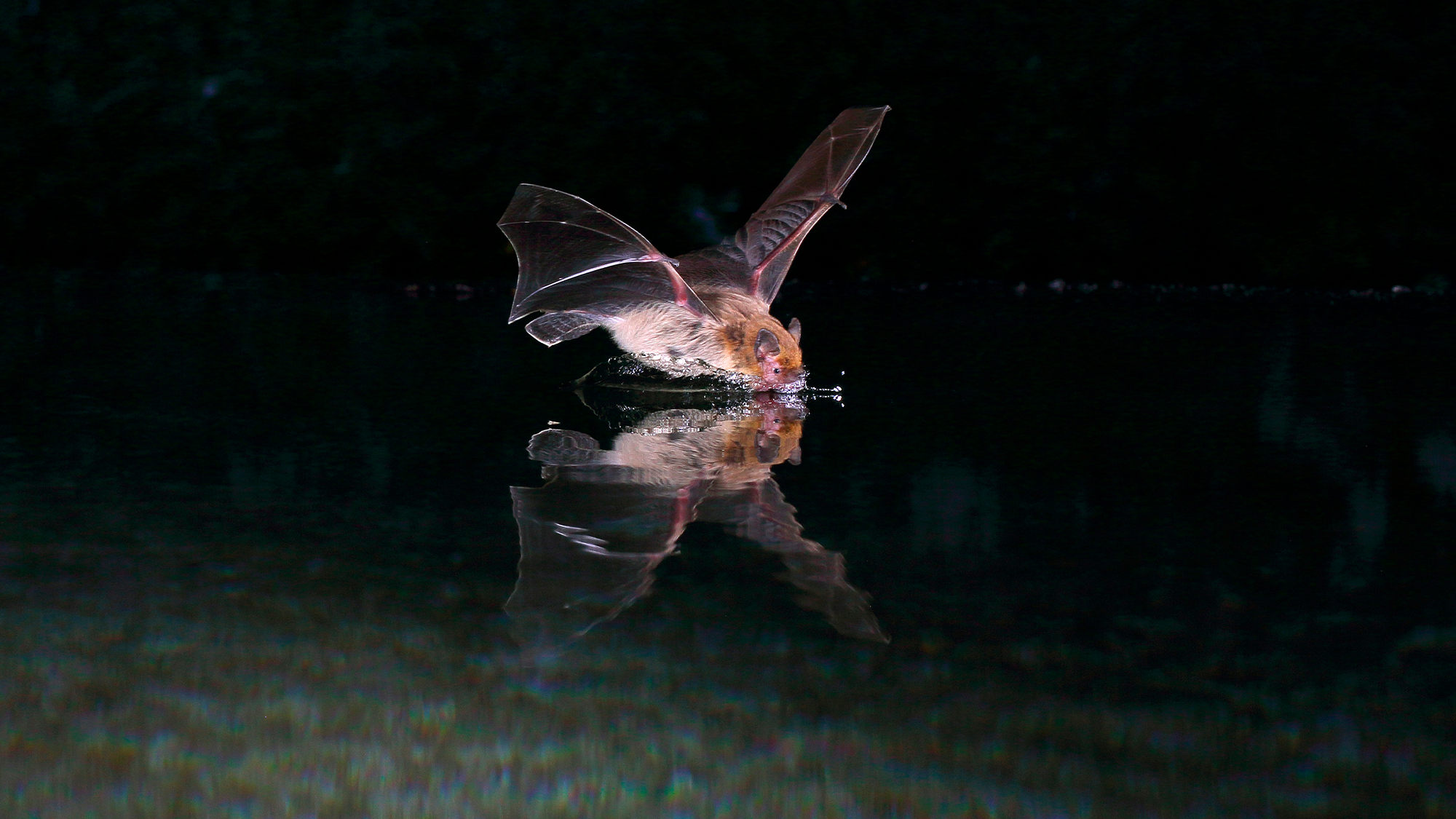

Bats are well known for their ability to “see” with sound, using echolocation to find food and their roosts. Some bats may also conceive a map made of sounds from their home range. This map can help them navigate around 1.8-mile long distances. The findings are described in a study published October 31 in the journal Science.
To navigate, echolocating bats use a local and directed beam of sound. However, this echolocation is short-ranged and highly directional and can best detect large objects within only a few dozen feet. While bats have long been known to use their echolocation to avoid bumping into things and position themselves, less is known about how they navigate in flight, since echolocation is limited when it comes to navigation.
[Related: Robert Battinson, Batlor Swift, and more face off in Bat Beauty Contest.]
In the study, an international team of scientists conducted experiments with Kuhl’s pipistrelle (Pipistrellus kuhlii) bats that weigh less than an ounce. Over the course of several nights, the team tracked 76 bats near their roosts. They relocated them to various points within a 1.8-mile radius, but still within their home range.
All 76 bats were tagged with a reverse GPS tracking system called ATLAS, that tracked the bats in real-time. Some of the bats were fitted solely with the ATLAS system, while others were monitored to assess how their vision, sense of smell, magnetic sense, and echolocation influenced how they navigated back home to their roosts.
With echolocation alone, 95 percent of the bats returned to their roosts within minutes. According to the team, this demonstrates that bats can conduct mile-scale navigation using a highly directional and relatively local mode of sensing alone. However, they also found that when echolocation is not available, bats can improve their navigation using vision.
“We were surprised to discover that these bats also use vision,” Aya Goldshtein, a study co-author and behavioral ecologist at the Max Planck Institute of Animal Behavior in Germany, said in a statement. “That was not what we expected. It was incredible to see that, even with such small eyes, they can rely on vision under these conditions.”
Along with the field experiments, the team made a detailed map of the entire valley. The map was developed to visualize what each bat experienced with the real-time data from the ATLAS system during their flights and understand how they used acoustic information to find their way.

VIDEO: A reconstructed map of the valley in a study on bath echolocation, showing how bats echolocate. CREDIT: Xing Chen
The model used the data taken from the experiments and showed that the bats tend to fly near environmental features with higher “echoic entropy.” These are areas that provide them with richer acoustic information that can complement what they can see with their echolocation.
“During the localization phase, bats conduct a meandering flight that, at a certain point, changes to a directional flight toward their destination, suggesting they already know where they are,” said Goldshtein. “Bats fly near environmental features with more acoustic information and make navigation decisions.”
[Related: How echolocation lets bats, dolphins, and even people navigate by sound.]
The bats can then use this acoustic information to tell the difference between environmental–trees vs roads–and use them as acoustic landmarks.
According to the team, these experiments show that Kuhl’s pipistrelles can navigate over several feet using echolocation alone. When vision is available to them, they can enhance their navigation by combining both senses. They also use these acoustic landmarks to create a mental map to return to their roosts.
